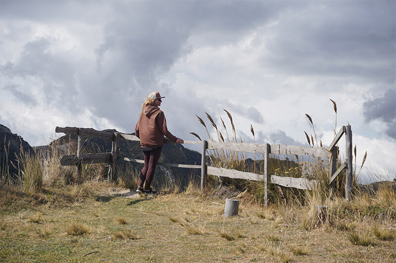
Hiking in National park Cajas
On the past Sunday, we started on a one-day hike to Cajas National Park, located near the city of Cuenca, Ecuador.We really enjoyed this hike, although there were some hiccups on our part. Now, let’s get into the details!
Getting to Cajas
Our friend Pedro Jose advised us to take any bus heading to Guayaquil and ask the driver to stop at the right spot, specifically where the trail begins. It’s all along the E582 road “Cuenca-Guayaquil.” He mentioned that the fare would be around two dollars. However, we opted for hitchhiking, which turned out to be quite efficient. Initially, we had to walk about 5 kilometers to reach the road, and on the way back to Cuenca, we covered the same distance in the opposite direction. Of course, you can also take a taxi or your own car. The distance from Cuenca to the trailhead is approximately 30-40 kilometers, depending on your chosen route. Now, let’s dive into the routes…
Hiking Trails in Cajas
To begin with, Cajas National Park offers 8 hiking trails, each with its own number, name, and difficulty level:
| Number | Name | Distintas, km | Level |
| 1 | Naturaleza e Historia Humana | 4,46 | Easy |
| 2 | Cumbre del Cerro San Luis | 2,51 | Difficult |
| 3 | Valle de Quinuas | 8,94 | Easy |
| 4 | Caminos Historicos | 6,79 | Easy |
| 5 | Cumbre del Avilahuaycu | 1,87 | Difficult |
| 6 | Al Encuentro con el Valle de las Burines | 6,36 | Difficult |
| 7 | Camino del Inca y la Lagunas Mayores | 18,49 | Difficult |
| 8 | Ruta de la Gran Osohuaycu | 15,78 | Difficult |
Route number 4
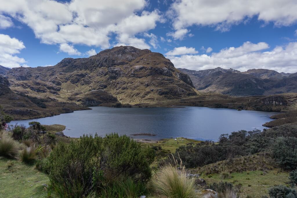
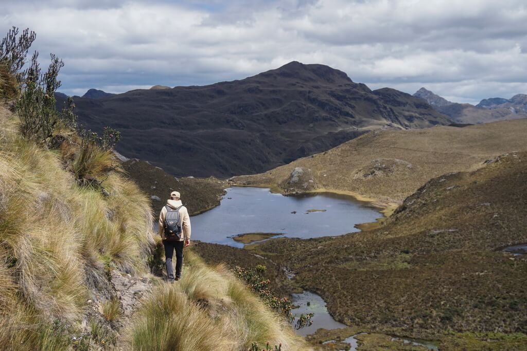
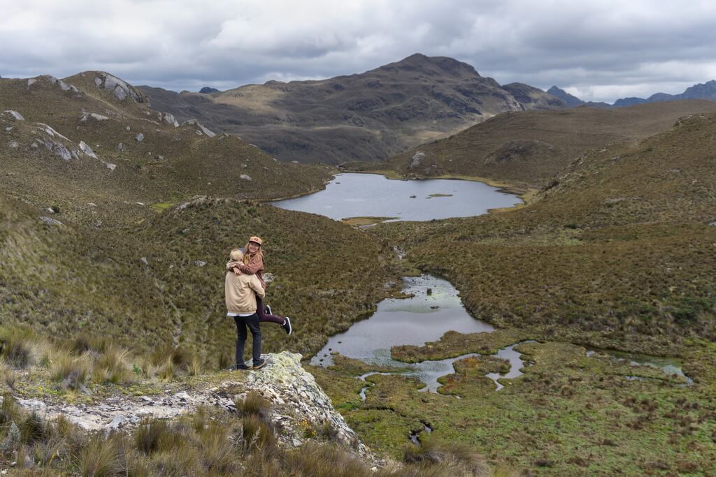
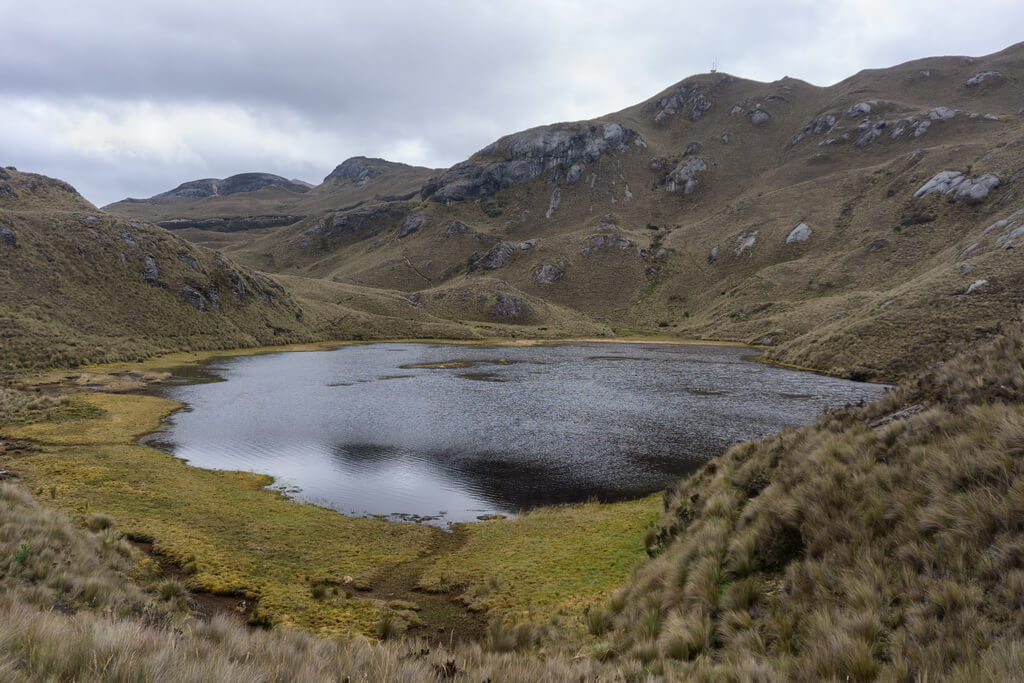
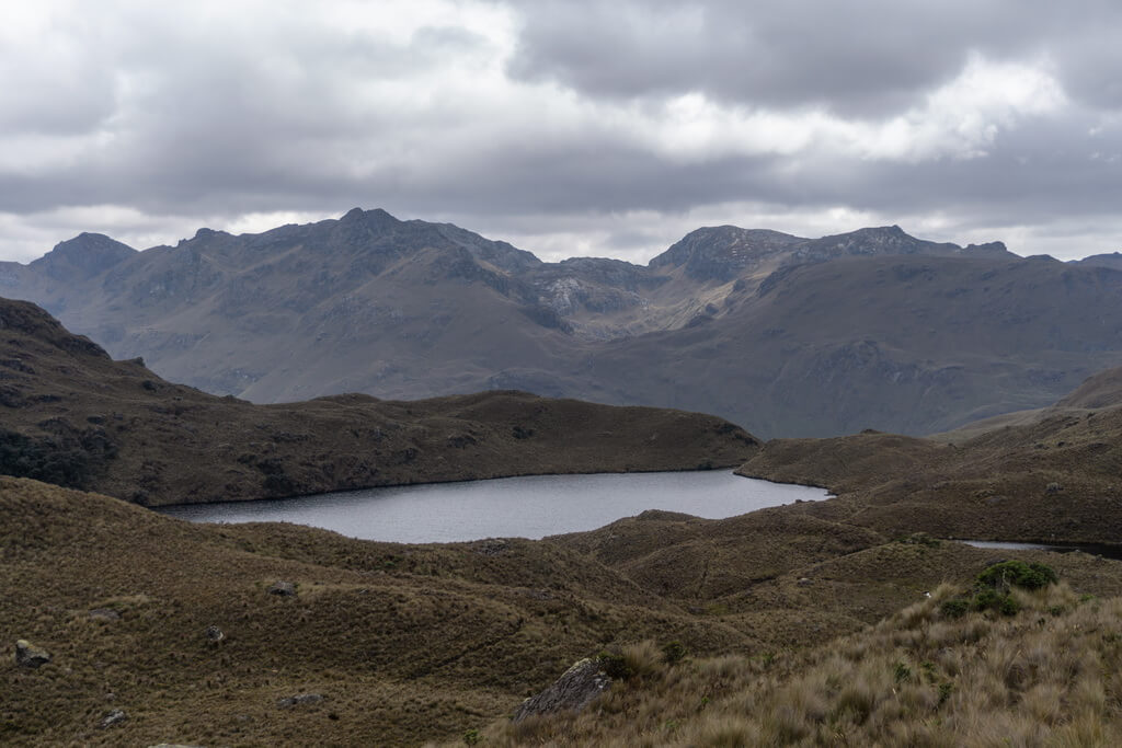
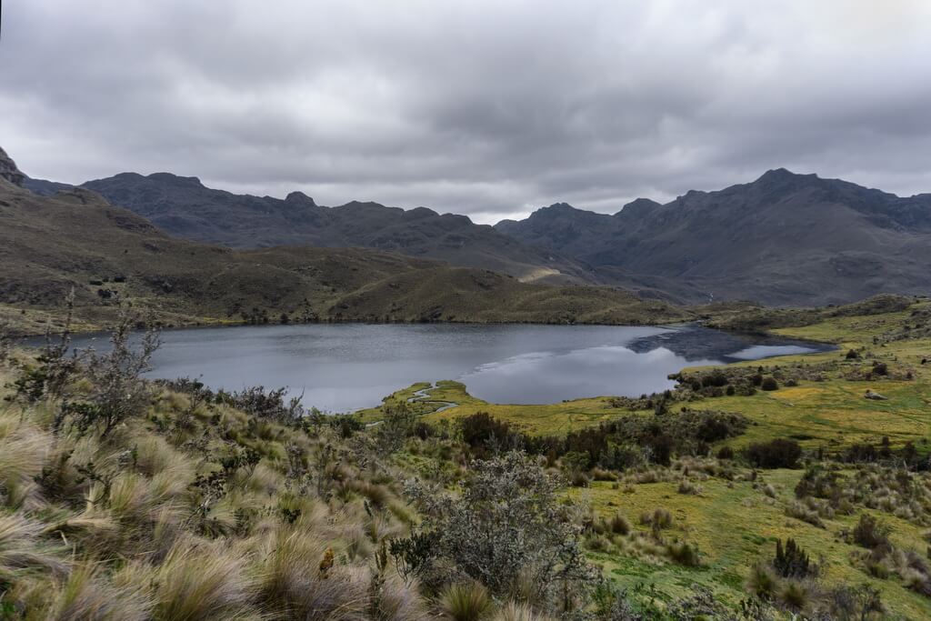
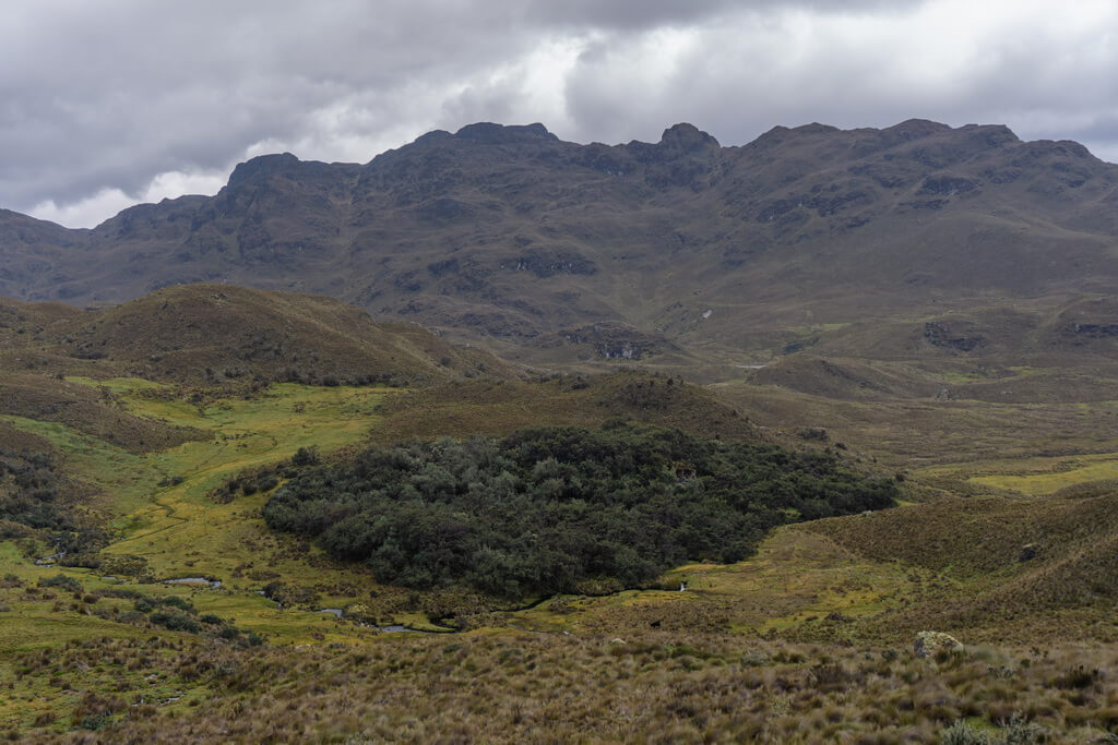
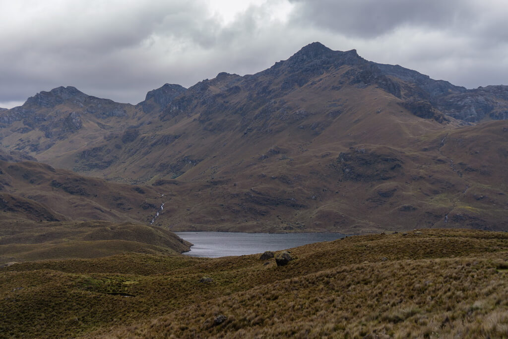
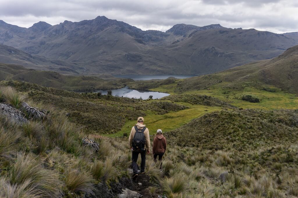
We chose route number 4 “Caminos Históricos” for hiking in National park Cajas. Pedro Jose recommended this route because it’s not too long, only about 7 kilometers, and it’s a gentle descent the whole way. This makes it perfect for a one-day walk suitable for all fitness levels. Our friend also said that this route is exceptionally beautiful, and you know what? He was absolutely right!
Route number 4 starts at a pass at an altitude of about 4150 meters above sea level. It begins (as do the other routes) on the Cuenca-Guayaquil road and ends on the same road, slightly lower, at an altitude of 3750 meters.
Here’s the starting point’s location: -2.777183, -79.24233.
And this is the location of the route’s endpoint: -2.793228, -79.275068.
Of course, you can go in the opposite direction, but in that case, you’ll be walking uphill. It’s a bit more strenuous, but in cold weather, it can be even better since going uphill keeps you warmer. However, keep in mind that the mountains can be quite rainy and windy, so don’t forget your jacket (just like we did).
Other Routes
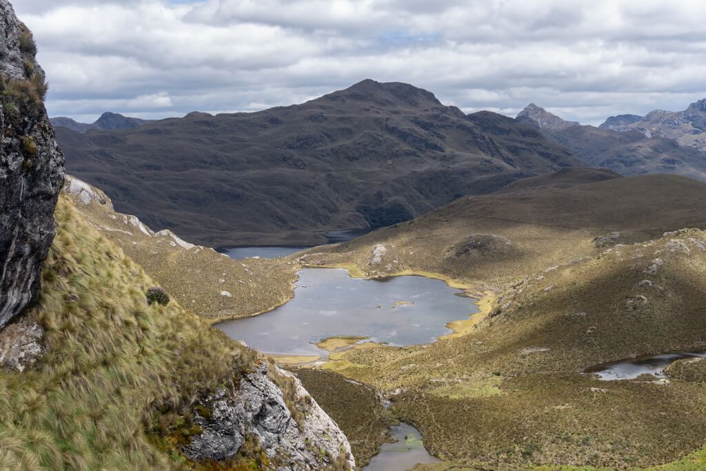
The other routes are longer and include both ascents and descents. However, they also offer more viewpoints with even more breathtaking landscapes. We wanted to choose a longer route where the maps.me map indicated a viewpoint with the label “Amazing view.”
On the map, this is part of route number 6, which transitions to route 7 and then to route number 8. However, we left our home in Cuenca quite late (around 11 am) and spent a lot of time getting to the National Park. Then we were invited to see a religious festival at a Catholic church, where pilgrims from all over the world had gathered.
So, we only reached the trailhead around 3 pm and finished the hike by 5-6 pm. Along the way, we had lunch twice, took many photos, and sometimes just stood in the middle of the trail and admired the surroundings.
A Couple More Tips
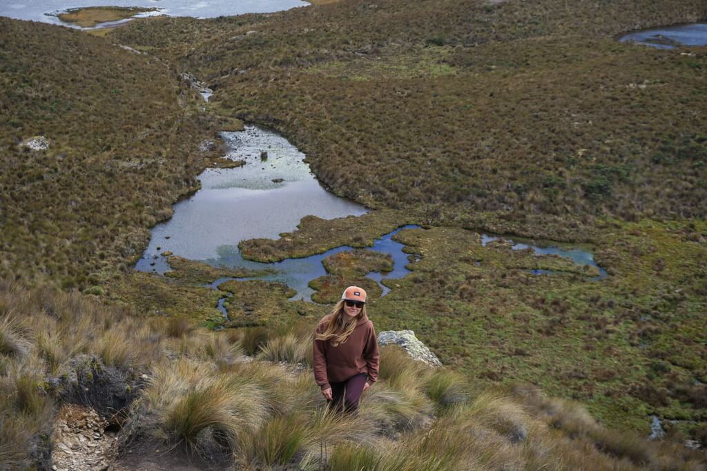
- Since the park has many lakes and rivers, the ground can often be wet, and the trail can be quite swampy, especially after rain. It’s better to wear waterproof hiking boots.
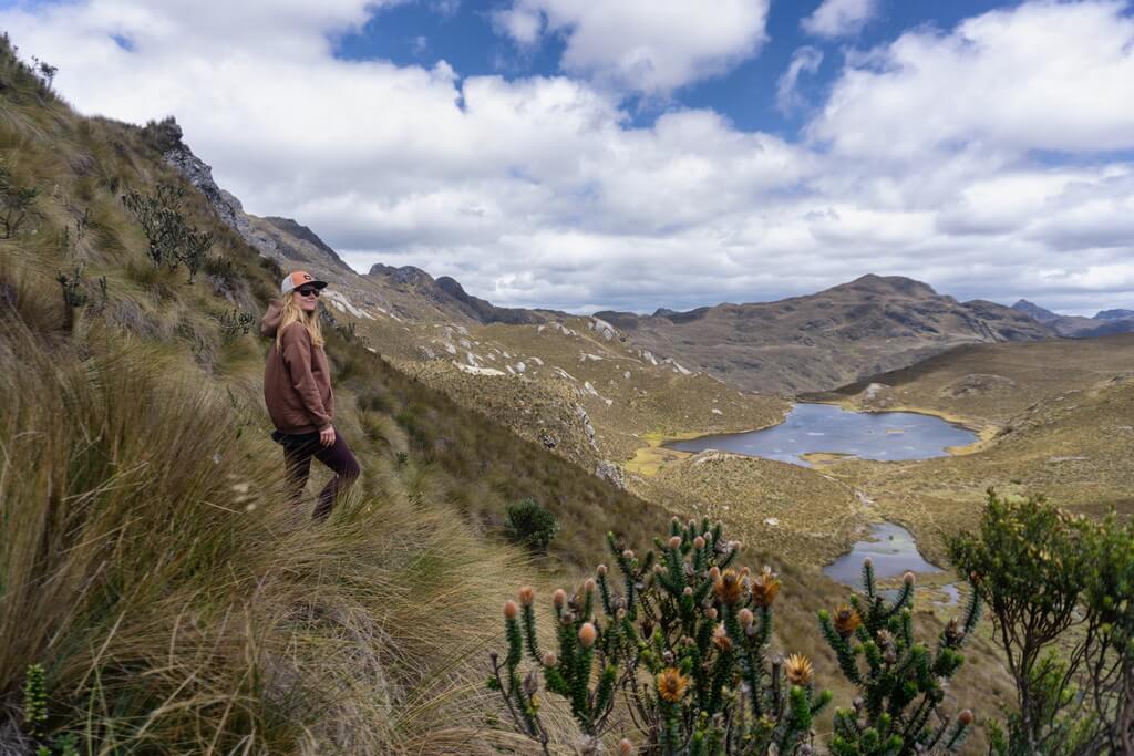
- Ladies, you might want to bring a dress. In good weather, it can be handy for photoshoots, as the relief of the national park offers many excellent angles.
- At the end of route 4, there’s a restaurant called “Guagrahuma,” where fishermen bring freshly caught fish from the lakes of the National Park. You might want to treat yourself after completing the hike or if you get hungry. So, keep that in mind.
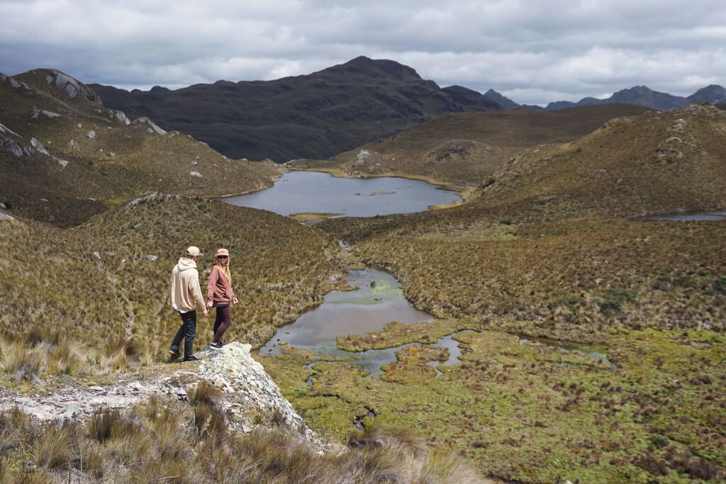
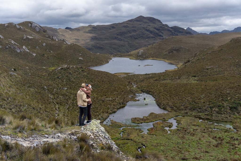
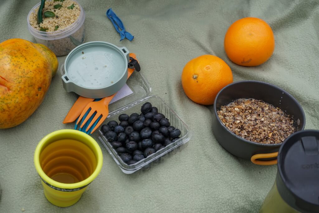
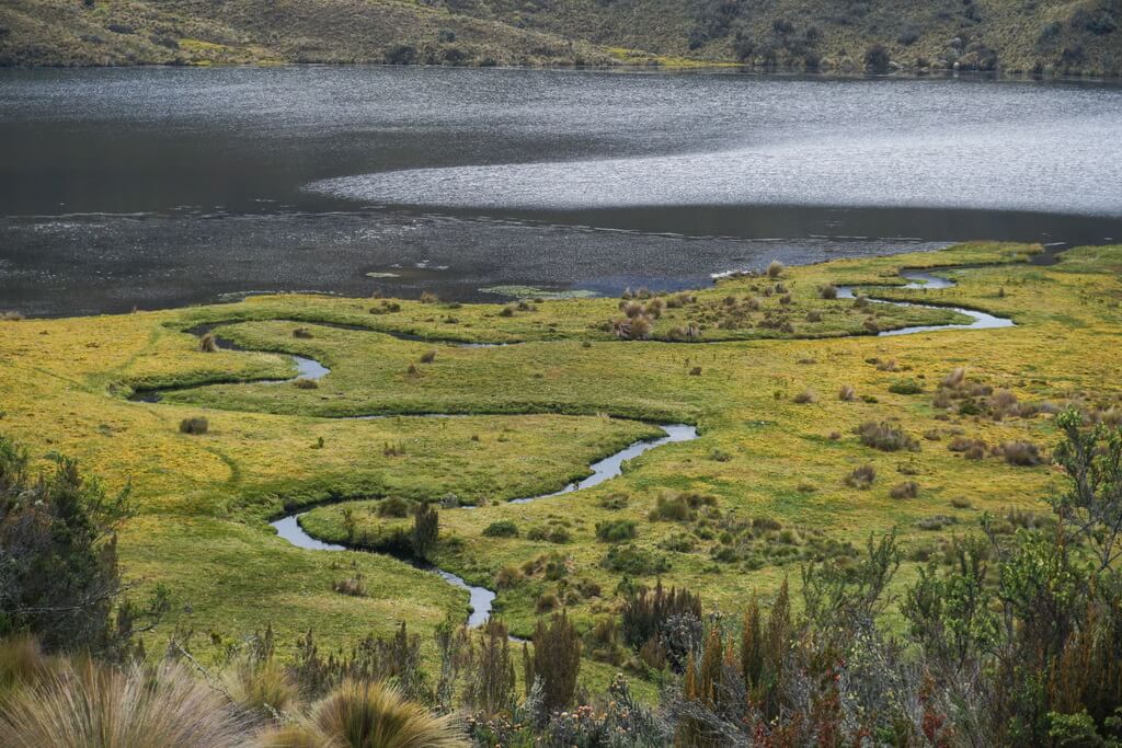
- Another tip: bring a blanket or picnic mat, something hot in a thermos, and delicious food to have a picnic by one of the lakes. There are simply stunning meadows covered with soft green carpets.
- Of course, don’t forget to bring drinking water for the hike. With all those rivers and lakes, there are also animals around. Well, you know…
Wishing you a successful hiking in National park Cajas and great weather!
With love from Ecuador, Vasily and Anastasia
